Атырау облысы
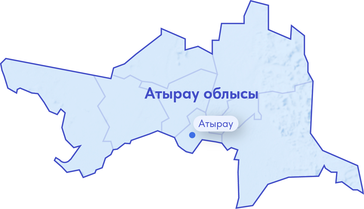
Жалпы мәлімет. Атырау облысы батысында Ресейдің Астрахань облысымен шекараласады, оңтүстік шекарасы Каспий теңізінің жағалауымен өтеді.Атырау облысы Қазақстанның батыс аймақтарының қатарына кіреді. Оның аумағы салыcтырмалы түрде үлкен емес – 118,6 мың км2. Бұл – 20 облыстың ішіндегі 13-ші орын.
Халық саны: 2026 жылғы 1 қаңтарға облыс халқының саны 715,9 мың адамды құрады, соның ішінде қалалықтар – 392,9 мың адам, ауылдықтар – 323 мың адам.
Әкімшілік бөлінісі. Аймақтың облыс орталығы – Атырау қаласы. Облыста 2 қала (Атырау, Күлсары) және 165 ауыл бар. Облыс аумағы Атырау қаласынан және 7 ауылдық округтен (Индер, Жылыой, Исатай, Мақат, Махамбет, Құрманғазы, Қызылқоға) тұрады.
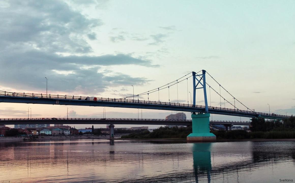
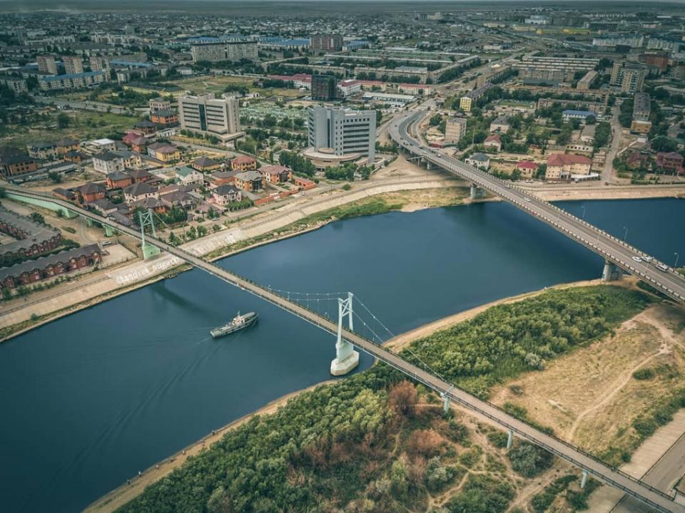
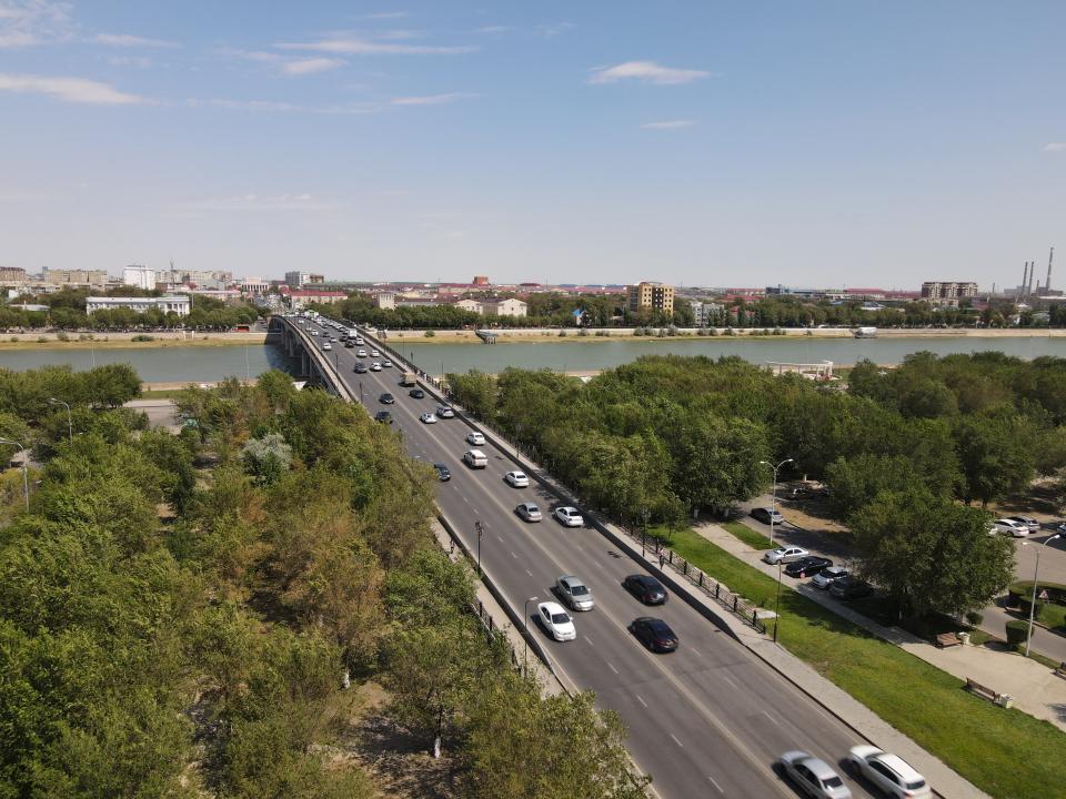
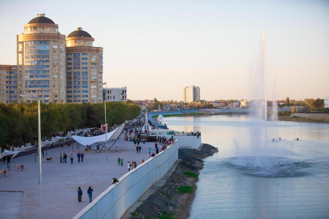
Облыс орталығы және облыс тарихы. Көбінесе «Қазақстанның мұнайлы астанасы» деп аталатын Атырау қаласы Атырау облысының оңтүстігінде, Жайық өзенінің Каспий теңізіне құйылатын сағасында орналасқан.
Қала тарихы XVII ғасырдан бастау алады. Бұл жерге 1640 жылы көпес Гурий Назаров ағаш елді мекенін салған, кейін мұнда Яицк казак әскерилерінің басқаруында болған Яицк тас қалашығы пайда болған (кейін Төмен Яицк болып өзгертілген).
XIX ғасырдан бастап елді мекен негізін қалаушысының есімімен Гурьев қалашығы, кейін жай ғана Гурьев деп аталған. Бұл атауға қала 1991 жылға дейін ие болды. Еліміз тәуелсіздік алғаннан кейін қалалық Халық депутаттары Кеңесі шаһардың атын Атырау деп өзгертті. Бұл сөз қазақ тілінен аударғанда «өзен сағасы» «дельта реки» деген мағынаны білдіреді.
1938 жылы ҚазКСР құрамында орталығы Гурьев қаласы болған Гурьев облысы құрылды. Ол кезде облыс қазіргіге қарағанда кең аумақты алып жатты. Оның құрамына қазіргі Маңғыстау облысының аумағы, бірқатар Ақтөбе аудандары кіретін және ол Ресей, Түркменстан, Өзбекстан мемлекеттерімен шекараласатын.
Маңғышлақ табиғи байлығының ашылуы мен Шевченко (қазіргі Ақтау) қаласының құрылысынан кейін облыс аумағы Маңғышлақ және Гурьев облыстарына бөлінді. 1991 жылдың 9 қазанынан бастап Гурьев облысы Атырау облысы болып өзгертілді.
Табиғи-климаттық жағдайы. Облыс Каспий маңы алқабының солтүстік-шығыс бөлігінде орналасқан. Ол Жем қыраты мен Үстірттің батыс бөлігін алып жатыр. Аумақтың басым бөлігі жазық дала, солтүстіктен оңтүстікке қарай көлбеу. Солтүстік аймағының жер бедері теңіз деңгейінен 200 метр биіктік, ал оңтүстігінде 20 метр төмен орналасқан.
Атырау облысы жерлерінің басым бөлігін қырқа және барқан құмдары алып жатыр. Облыстың солтүстігінде жусан-сортаңды, ал оңтүстігінде жусан-бұталы өсімдіктер басым. Каспий теңізі жағалауында қамыс қопасы, өзен және көл алқаптарында терек мен тал көп өседі. Жануарлардан бұл жерде қасқыр, түлкі, қосаяқ, қабан, ақбөкен мекендейді, құстардан дала қыраны мен дуадақ тіршілік етеді. Каспий теңізі мен Жайық өзенінен бекіре, ақсерке, шоқыр сияқты асыл тұқымды кәсіптік балық ауланады.
Облыста тұщы су қоры жеткіліксіз. Каспий теңізі бассейініне жататын өзендер аз. Аймақтың ең ірі өзені - Жайық. Өзен аңғарлары мен Каспийдің жағалауында жаз мезгілінде кеуіп, сортаңға айналатын шағын көлдер көп.
Облыстың климаты континентальды, Мұнда қыста қар аз, жазы құрғақ әрі ыстық. Қаңтардың орташа температурасы -3-5 ºС, шілде айының орташа температурасы – 24-25 ºС көрсетеді.
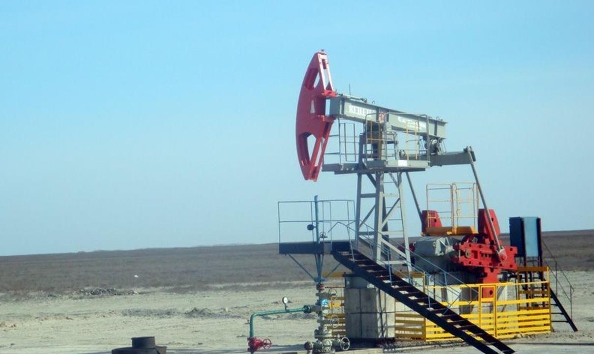
Атырау облысының жер қойнауы көмірсутекке бай. Теңіз, Құлсары, Байшонас, Қараарна, Кеңбай және т.б. кен орындарында мұнай мен газ қоры бар. Сонымен қатар облыста натрий және калий тұздарының кен орындары кездеседі.
Экономикасы. Аймақ экономикасы негізінен мұнай өндірісіне бағытталған. 2015 жылы өнеркәсіптік өнім мөлшері 13,1 трлн теңгені құрады. Осы көрсеткіш арқылы Атырау облысы еліміздің басқа аймақтарының алдында көш бастады. Алайда 2015 жылы ауыл шаруашылығы өнімінің жалпы көлемі 52,4 млрд теңгені ғана құрады. Бұл – аймақ экономикасының нақты қай бағытқа бағытталғанының нақты көрсеткіші.
Облыстың ірі кәсіпорындарына «Атырау мұнай өңдеу зауыты», «Теңізшевройл», «Ембімұнайгаз», «NCOC.NV», «Атырау Нефтемаш» және т.б. жатады. Мұнайхимия өнеркәсібінен басқа облыста машина құрастыру, азық-түлік өнеркәсібі және құрылыс индустриясы дамыған. Облыс аумағынан Атырау-Ор, Өзен-Атырау-Самара, Атырау- Новороссийск мұнай құбырлары өтеді.
Туризмі. Туризм саласы өңір экономикасының басым бағыттарының бірі болып саналады. Облыста туризмнің тарихи-мәдени (өлкенің салт-дәстүрімен, тарихымен танысу), спорттық-әуесқойлық (балық және аң аулау), этнографиялық және сауықтыру секілді түрлерін дамытуға мүмкіндіктері бар.
Атырау облысы зор экономикалық әлеуетіне байланысты, Қазақстанның әлеуметтік – экономикалық дамуында ерекше орын алады. Жыл сайын шет ел қатысуымен компаниялар саны артуда. Қазіргі кезде облыс әлемнің 50-ден аса елдерімен тығыз ынтымақтасуда. Облыста 1000-нан аса біріккен және шетел кәсіпорындары құрылып, жұмыс жасауда.
Бұл ынтымақтастық, облысқа заманауи менеджмент, нағыз заманауи технологиялар, ең жаңа дүниежүзілік инновациялық әзірлемелерді тартуға, ол өз соңында, іскерлік туризмнің және туризмнің басқа да түрлерін дамытуға үлесін қосады.
Қазақстан Республикасының туристификация картасына Атырау облысынан республикалық және өңірлік деңгейде 6 туристік объект енгізілген. Олар:
- Республикалық деңгейде - Атырау облысының "Ортағасырлық Сарайшық" кешені.
- Өңірлік деңгейде:
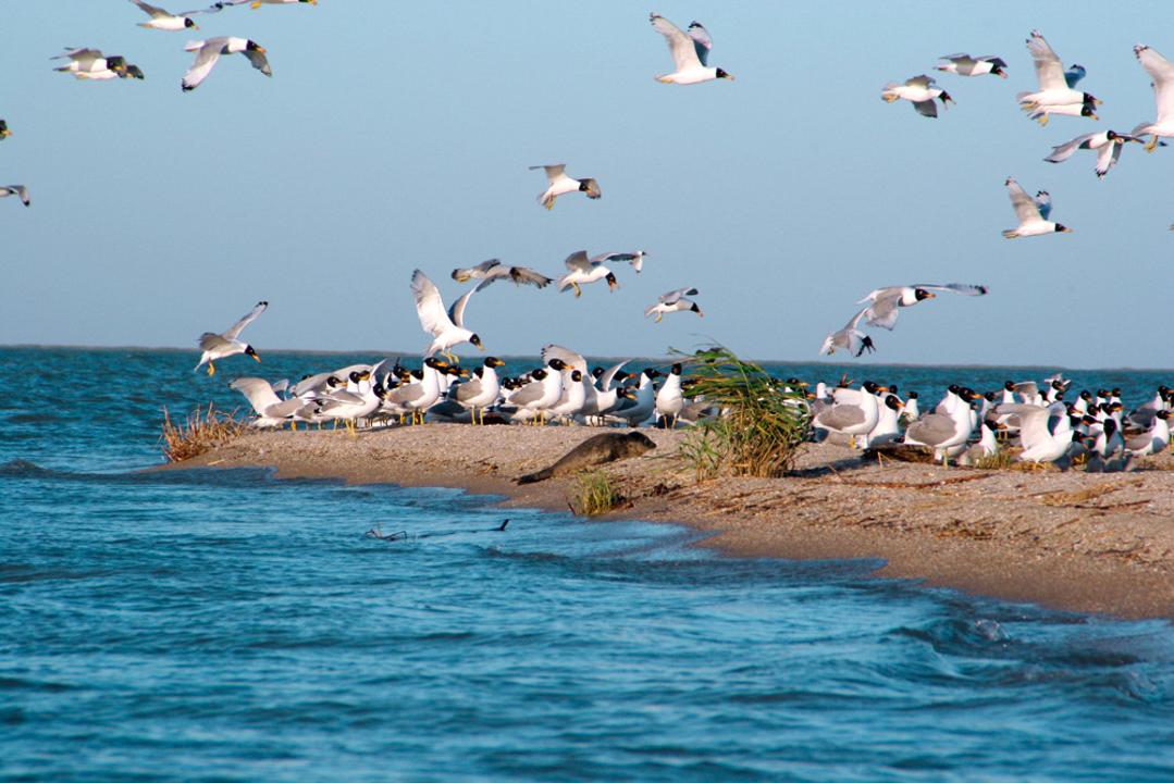
- Атырау облысының "Ақжайық" мемлекеттік табиғи резерваты.
- Атырау облысының Индер тұзды көлі.
- Атырау облысының Нарын құмдары.
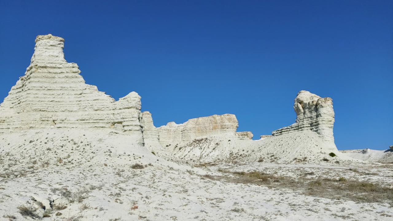
- Атырау облысының "Ақкегершин" бор таулары.
- Атырау облысының лотос алқаптары.
Сонымен қатар, Атырау облысының аумағында туристердің қызығушылығын тудыратын тарихи-мәдени маңызы бар бірнеше туристік нысандар мен демалыс орындары орналасқан. Туристердің ең көп келетін жері «Ақ Жайық» мемлекеттік табиғи резерваты. Резерват аумағында 2 бағытта «Табиғат әлемі» және «Су әлемі» атты экологиялық маршруттар іске қосылған. 2022 жылдың 12 айына ішкі маршруттар бойынша 500 ден астам туристерді қабылдады.
Махамбет ауданындағы Сарайшық қалашығы, туристердің ең көп баратын орындардың бірі, Индер ауданында орналасқан Индер тұзды көлі, Исатай ауданындағы Нарын құмы, Жылыой ауданында бірнеше қасиетті орындар мен мәдени ескерткіштер бар. Құлсары қаласынан 64 шақырым жерде Ақмешіт қорымы, Құлшан ата, "Алтын адам" табылған Аралтөбе қорымы, Ақкерегешін таулары, Иманқара үңгірі, Құрманғазы ауданындағы Қиғаш өзенінің жағалауы. Мұнда бірнеше туристік базалар салынуда, жыл сайын көктем мен күз мезгілдерінде аң аулауға және балық аулауға қазақстандық және шетелдік туристер көптеп келеді.
Құрманғазы ауданының аумағында Қиғаш өзенінде әлемде сирек кездесетін лотос гүлі өседі. Табиғи жағдайда ғана өсіп келе жатқан лотос Қазақстанда отандық туризмді дамыту үшін бұрын-соңды болмаған мүмкіндік туғызуда.
Құрманғазы ауданында туристік балық аулау базалардың саны артуда. Маусымдық уақытта лотос алқабына, туристік балық аулау базаларына демалуға келетін туристердің ағымы едәуір артқан. Себебі көршілес Астрахан облысынан балық аулауға, демалуға көптеп туристер келуде. Шамамен лотос алқабына, туристік базаларға маусымдық кезде 5 мыңнан астам туристер келеді.